Mandli Communications
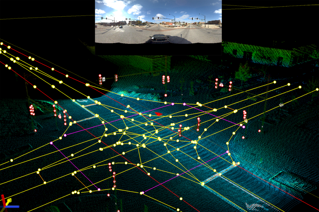
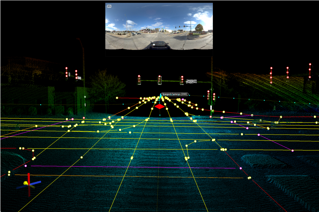
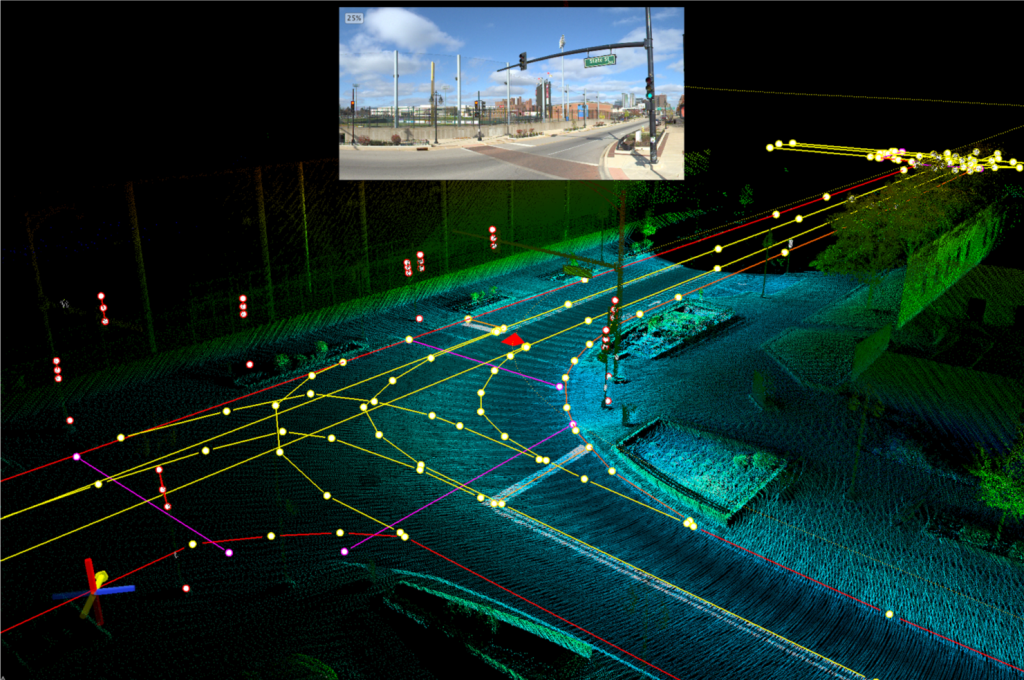
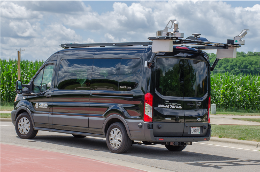
Mandli Communications maps supplement any project involving Autoware open-source software with high-definition renderings of road boundaries, curbs, traffic signs, signals and pedestrian crossings. Mandli’s expertise with high-definition digital maps, digital terrain modeling, three-dimensional pavement modeling and asset analysis translates into superior navigational maps for autonomous vehicles. The advantages of Mandli’s maps include LiDAR point LAS files, seamless ESRI integration, a portable mapping sensor, airport data collection and TomTom asset inventory.